
Clash of Bengal Adventure
An educational adventure map set in the Bay of Bengal teaching UNCLOS maritime law through the border dispute between Bangladesh and India.
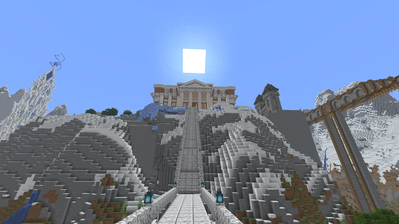
Overview
Clash of Bengal Adventure is an educational map focused on resolving a real-world maritime dispute between India and Bangladesh. In this experience, players take on the role of an international judge working through a geopolitical conflict. The gameplay is designed to test both spatial problem-solving and critical thinking skills. It is built for Minecraft Java Edition version 1.21.1.
Two-Phase Learning Structure
Phase 1 focuses on visualizing the territorial conflict in the Bay of Bengal. Players navigate the waters to see how overlapping maritime borders are formed through various calculation methods. This exploration demonstrates the cut-off effect that impacts the coastline of Bangladesh.
In Phase 2, players apply their observations to navigate a legal puzzle maze. Moving forward requires finding hidden clues and interacting with custom non-playable characters. To complete the challenge, participants must answer questions grounded in real Law of the Sea (UNCLOS) international principles.
How to install
- Download the file and unzip it if it is a .zip.
- Move the world folder into
.minecraft/saves(Java Edition). - Start Minecraft, open Singleplayer and choose the world.
Similar
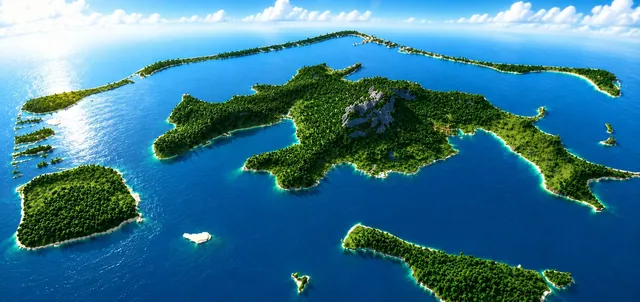 1:4
A 1:4 scale survival-ready terrain map of the South Pacific island of Bora Bora with custom caves, ores, and structures.
A historical Vietnam War battlefield PvP map depicting Khe Sanh and Hue during the 1968 Tet Offensive.
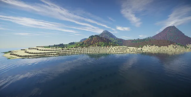
A small-scale survival map of the Hawaiian islands.
 1:20
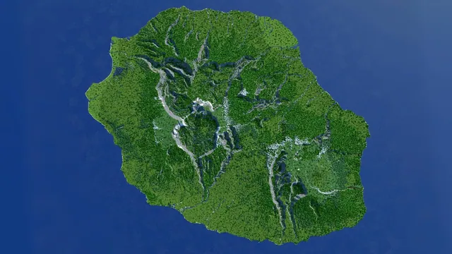
A 3500x3500 survival island map shaped after Réunion Island at a 1:20 scale with caves, ores, and dungeons.
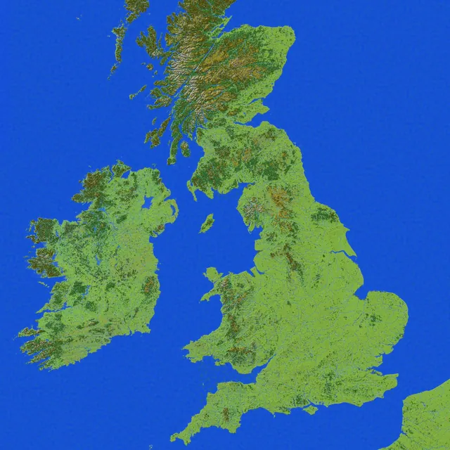
A 7000x9000 survival terrain map of the United Kingdom and Ireland with ores, custom caves, and dungeons.
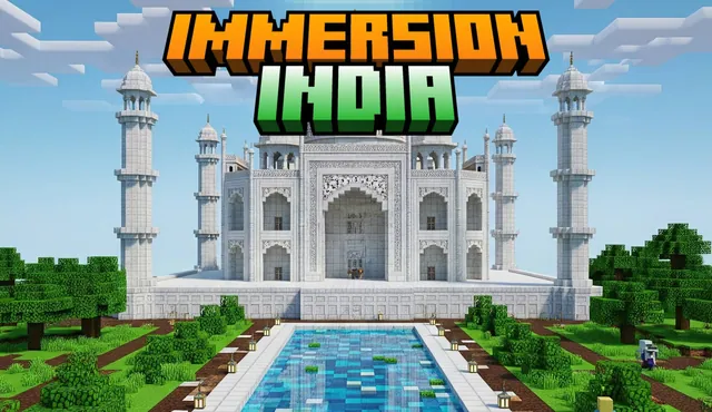
A small-scale Bedrock adventure map of India featuring landmarks such as the Taj Mahal and historical empire regions.
 1:1
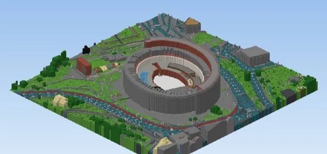
Sixteen 1:1 scale playable Bedrock worlds of real cities and landmarks generated from OpenStreetMap data with real terrain elevation, each covering about 10 km².
 1:1
A 1:1 scale recreation of the Lauterbrunnen valley in Switzerland built from real elevation and OpenStreetMap data.