
TellusCN
A China-optimized fork of the Tellus mod that generates real-world Earth terrain, elevation, biomes, and climate from geographic data.
Overview
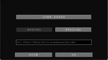
TellusCN is a Fabric mod fork designed to generate Earth-scale terrain in Minecraft using real-world geographic data. Created as an adaptation of the original Tellus mod by Yucareux and inspired by Gegy's Terrarium, this community version by the BlackHoleEra-Team includes mirror and CDN optimizations for players in China. The mod translates physical elevation, climate regions, and land cover into playable landscapes with optional real-time weather and time synchronization.
An active internet connection is strictly required because the mod streams geographic and atmospheric data on demand. As you explore, the system downloads and caches tiles from sources like ESA WorldCover 2021, Koppen-Geiger climate maps, OpenStreetMap, and ArcticDEM. Because certain survival elements, biomes, and structures like the Deep Dark are still under development, the project is currently better suited for exploration and testing rather than long-term survival worlds. For multiplayer setups, the mod only needs to be installed on the server, though worlds must first be generated in singleplayer and then transferred over.
World Generation and Scale Settings
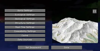
Players can customize the world scale from 1:1m up to 1:500m per block before creating a new map. At a 1:1m scale, a single block represents one meter (meaning one thousand blocks equal one real-world kilometre), whereas a 1:500m scale compresses half a kilometre into each block; future updates also plan to support scales up to 1:40km. A built-in preview screen allows you to inspect your scale and height configurations prior to generating the world. You can independently adjust terrestrial and oceanic height multipliers, shift the overall terrain offset, set custom altitude limits, and control shoreline blending along rivers, lakes, and cliffs.
The customization menu also provides controls for underground geology, vanilla structures, and live atmospheric conditions. Under the geological and structure tabs, players can toggle cave generation, vanilla ore distribution, underground lava pools, and various surface or subterranean structures. The real-time settings allow the game to synchronize the day-night cycle with the local clock of your in-game coordinates and mirror live regional precipitation such as rain, snow, or thunder. Ecological settings for vegetation density and historical snow coverage are visible in the interface as upcoming features, alongside a cache manager to clear stored map tiles when disk space is needed.
Distant Horizons and In-Game Commands
Integration with the Distant Horizons mod is built in to support long-range rendering across planet-scale landscapes. Utilizing the Distant Horizons API v4+, TellusCN replaces standard vanilla distance sampling with selectable rendering modes and an optional water depth resolver. Fast mode uses a custom level-of-detail generator to sample elevation, climate, and water data directly for lower performance cost, while Detailed mode relies on full chunk generation for higher accuracy at a heavier processing cost.
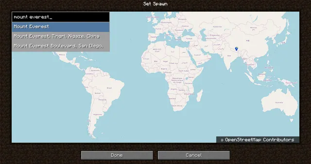
Navigating the globe and managing atmospheric overrides is handled through built-in slash commands. Players with gamemaster permissions can run `/tellus map` to open the GeoTP user interface and teleport directly to specific real-world locations. Anyone can check the local time and meteorological conditions at their current coordinates by typing `/tellus weather`. Server operators can also override the global configuration for live time and weather synchronization using the `/tellus config weather` commands.
How to install
- Install the loader shown in the table (Fabric, Forge or NeoForge) for the same Minecraft version.
- Put the .jar file into
.minecraft/mods. - Start Minecraft with that loader profile.
Similar

A customizable world generation platform and API for Fabric, Forge, and Bukkit servers used to create custom and Earth-like terrain.
 1:40m
A world generation mod that creates a customizable, scale-adjustable replica of planet Earth using streamed geographic data.
A world generation mod that streams real-world elevation, climate biomes, roads, and buildings from geographic and OpenStreetMap datasets.
A world generation mod that adds a real Earth world type to Minecraft.
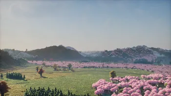 ~1:6
A configurable real-Earth world generator using AWS elevation tiles and climate data to create Earth terrain at adjustable zoom scales.
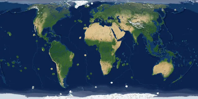
A real-Earth world generator for TerraFirmaCraft featuring real continents, rivers, lakes, mountains, climate zones, and coordinate spawning.
 1 to 1
A performance-focused fork of the Terra 1 to 1 mod that generates the real Earth at a 1:1 scale using online datasets and OpenStreetMap.
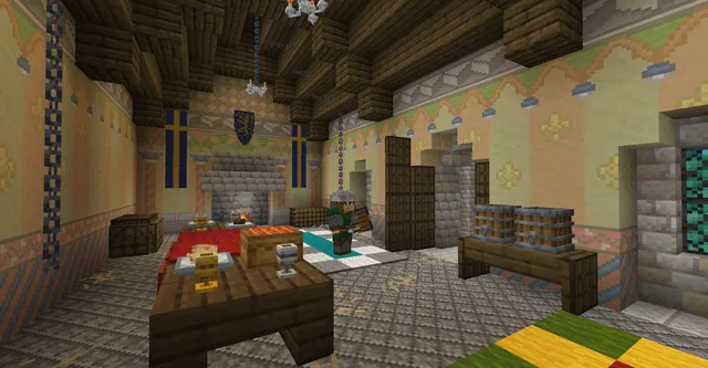
An addon mod recreating Medieval Western Europe in 1237 with a map of the British Isles, France, northern Iberia, and the western Holy Roman Empire.