
Amazon Rainforest Map
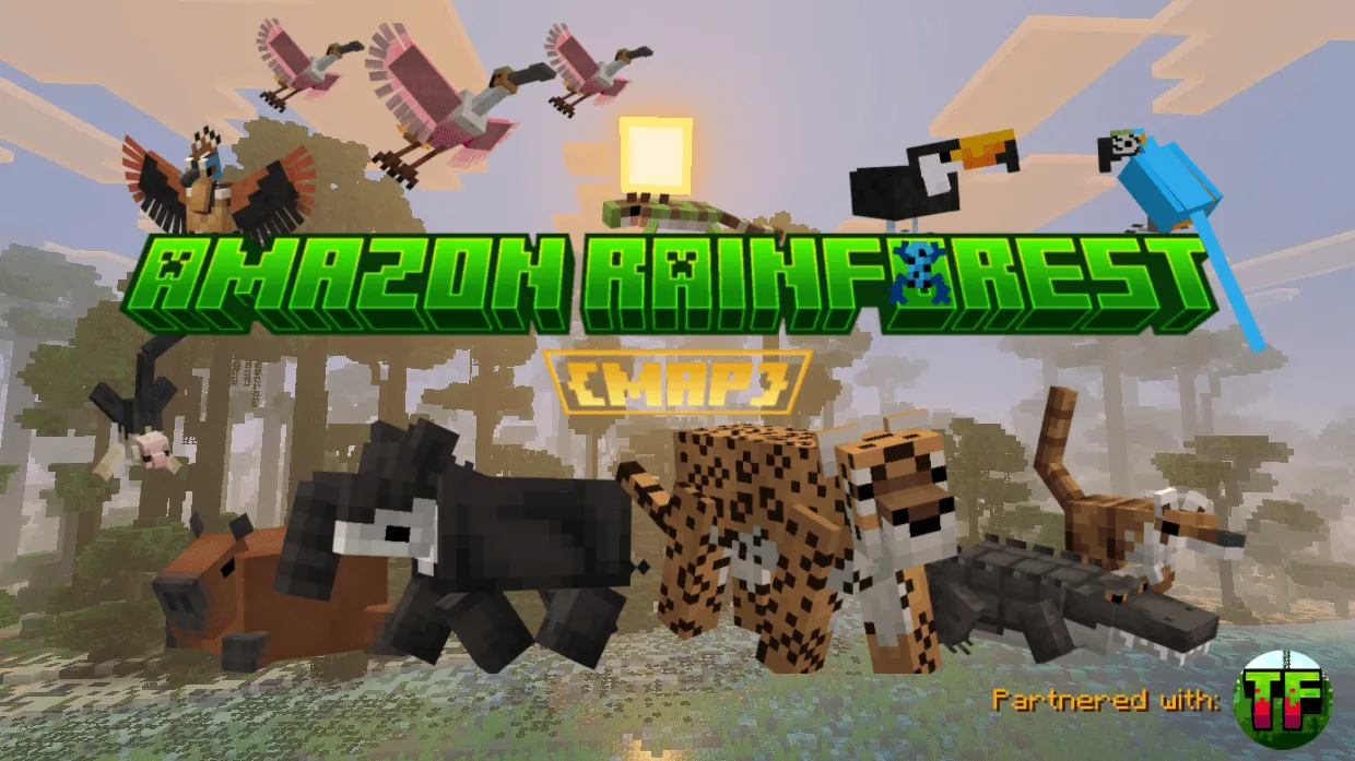
An educational custom terrain map representing the ecosystem and canopy layers of the Brazilian Amazon Rainforest.
Overview and Ecosystem Representation
The Amazon Rainforest Map is a 3,840 by 3,840 block world developed over a 2-year period as part of the WILD MAPS series. Rather than serving as an exact replica of the entire 6-million-square-mile basin, it portrays a section of the tropical rainforest in Brazil. The terrain is designed to educate players about the 4 main ecological layers of the real forest: the sunlit emergent layer, the 20-foot-thick canopy, the humid understory, and the dark forest floor. Throughout the environment, educational details and regional lore highlight the wildlife and indigenous cultures of South America.
Players can explore this dense tropical habitat in either creative or survival mode, supported by underground ores and natural resources available for mining. The landscape accommodates both long-distance expeditions through the foliage and custom building projects. Custom structures scattered across the jungle and waterways hold loot useful for crafting and trading, alongside written lore detailing the local environment.
Kokama Village
Players spawn directly inside the Kokama Village, a custom settlement modeled after the stilt-house architecture of the indigenous Kokama people. In the real Amazon basin, these elevated structures are built near rivers to withstand seasonal flooding. Every house in the village features a distinct interior layout, and a shared community cooking station sits in the center of the settlement for preparing river fish and meat. At the front of the village stands the chief's hut, which serves as a gathering hall and houses the village chief at a podium, food supplies, and lore books.
The settlement is sustained by dedicated agricultural zones, including a livestock pen, a crop farm, and an African oil palm grove. In the cattle farm, herds of pigs and village cattle are kept inside pens and occasionally released to graze, though players must watch out for jaguars attempting to hunt the animals. The village crop farm produces fruits and vegetables for the residents and stores tools and seeds so players can replant harvested fields. Nearby, the oil palm grove provides harvestable fruit used both as local village resources and for outside trade.
Rivers and the Fishing Lake Area
South of the spawning village, a river winds through the dense jungle foliage and ends at a large fishing lake. This aquatic zone is populated with colorful freshwater fish that swim between the lake and the connected river channel. Players can swim beneath the surface to observe the underwater habitat or fish from the water to catch food.
The water surface features several custom boats and waterside structures built for villagers and visiting tourists. Brightly colored fishing canoes originating from the Kokama Village float alongside small motorboats on the lake. The area also includes game fishing houses designed as lodging for tourists exploring the river basin.
How to install
- Download the
.mcworldor.zipfile. - Open the .mcworld file and Minecraft imports it (on phones, open it from your downloads with Minecraft).
- If you got a .zip, rename it to .mcworld first.
Similar
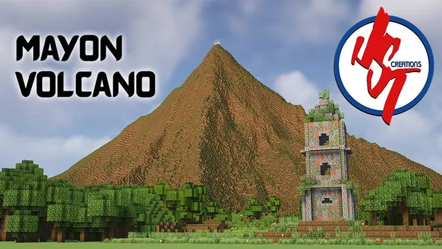
A terrain and landmark recreation of Mayon Volcano and the Cagsawa Church ruins in Albay, Bicol, Philippines.
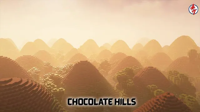
A Minecraft Bedrock recreation of the Chocolate Hills geological formation in Bohol, Philippines.
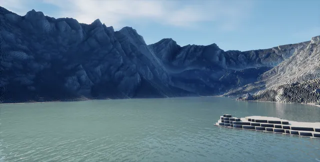 1:1
A 1:1 scale terrain map of Mount of the Holy Cross in Colorado built from 1-meter DEM data.
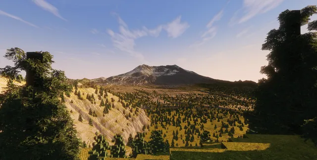 1:1
A 1:1 scale terrain map of the Mount St. Helens volcano in Washington, built using 1-meter DEM data.
A realistic mountain terrain map of the Swiss Alps generated from real-world topographical data reaching nearly 900 blocks tall.
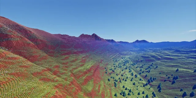 1:1
A 1:1 scale LiDAR-based terrain map of the Maroon Bells mountains near Aspen, Colorado.
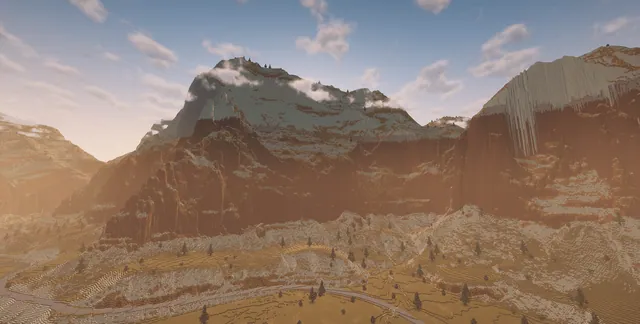 1:1
A 1:1 scale WorldPainter recreation of Zion National Park in southwestern Utah.
 1:1
A 1:1 scale terrain map of Half Dome and Yosemite Valley in Yosemite National Park created from 1-meter USGS LiDAR data.