
Half Dome
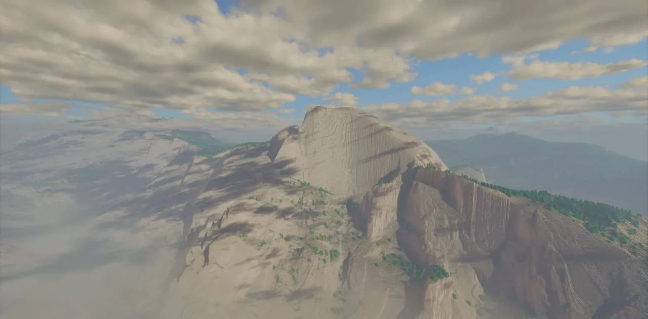
A 1:1 scale terrain map of Half Dome and Yosemite Valley in Yosemite National Park created from 1-meter USGS LiDAR data.
Overview
The Half Dome project by RobertWha brings Yosemite Valley into Minecraft Java Edition at a 1:1 scale. At this full-size ratio, one thousand blocks in the game correspond to every real-world kilometre, meaning a single block equals 1 meter. Because the terrain relies on 1 meter resolution USGS LiDAR scans, the natural formations sit in their authentic geographic positions.
Geography and Features
Visitors can traverse recognizable parts of Yosemite National Park, such as Half Dome, Quarter Dome, and Yosemite Falls. While the waterfall rests near the boundary of the playable area, the broader environment features wooded valleys and tall summits. The rock walls rise well above the usual vertical height limit of a standard Minecraft world.
The environment presently lacks water so that the underlying ground shape remains intact. According to the author, water features might be introduced in a subsequent release.
Tools and Visual Setup
To build the landscape, the author processed USGS elevation data through QGIS and WorldPainter. The forests across the valley make use of assets from the Custom Tree Repository. For optimal viewing distances and lighting, the builder advises running the Distant Horizons mod junto with shaders, noting a preference for Bliss Shaders and the Patrix 32x resource pack.
How to install
- Download the file and unzip it if it is a .zip.
- Move the world folder into
.minecraft/saves(Java Edition). - Start Minecraft, open Singleplayer and choose the world.
Similar
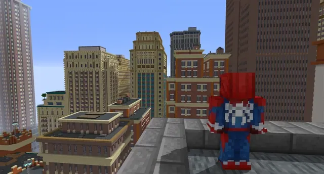
A New York City and Manhattan map built for Minecraft 1.7.10 using the Fisk's Superheroes mod.
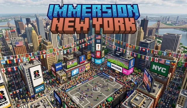
A large-scale map of New York City for Minecraft Bedrock featuring Brooklyn, Central Park, and the Statue of Liberty.
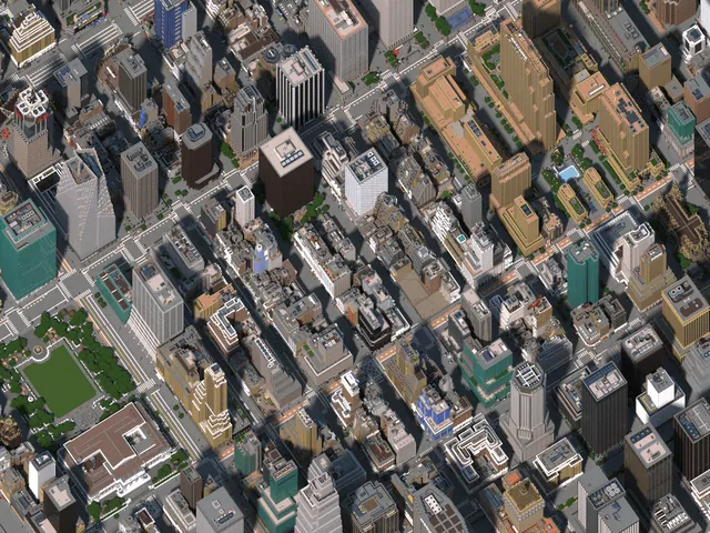
A detailed Minecraft recreation of Midtown Manhattan in New York City.
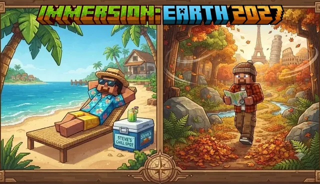 1:1
A Minecraft Bedrock world recreating over 100 real-world cities, landmarks, buildings, and roads across planet Earth.
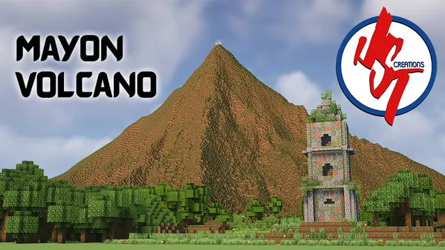
A terrain and landmark recreation of Mayon Volcano and the Cagsawa Church ruins in Albay, Bicol, Philippines.
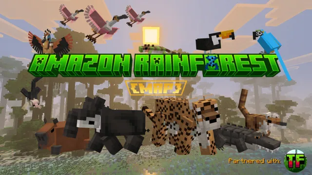
An educational custom terrain map representing the ecosystem and canopy layers of the Brazilian Amazon Rainforest.
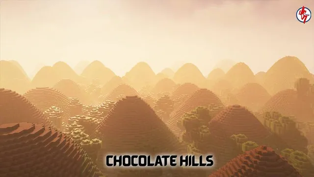
A Minecraft Bedrock recreation of the Chocolate Hills geological formation in Bohol, Philippines.
 1:1750
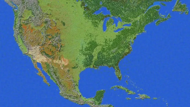
A 1:1750 scale survival terrain map of the United States for Minecraft Bedrock with caves, ores, and dungeons.