
Capitol Peak
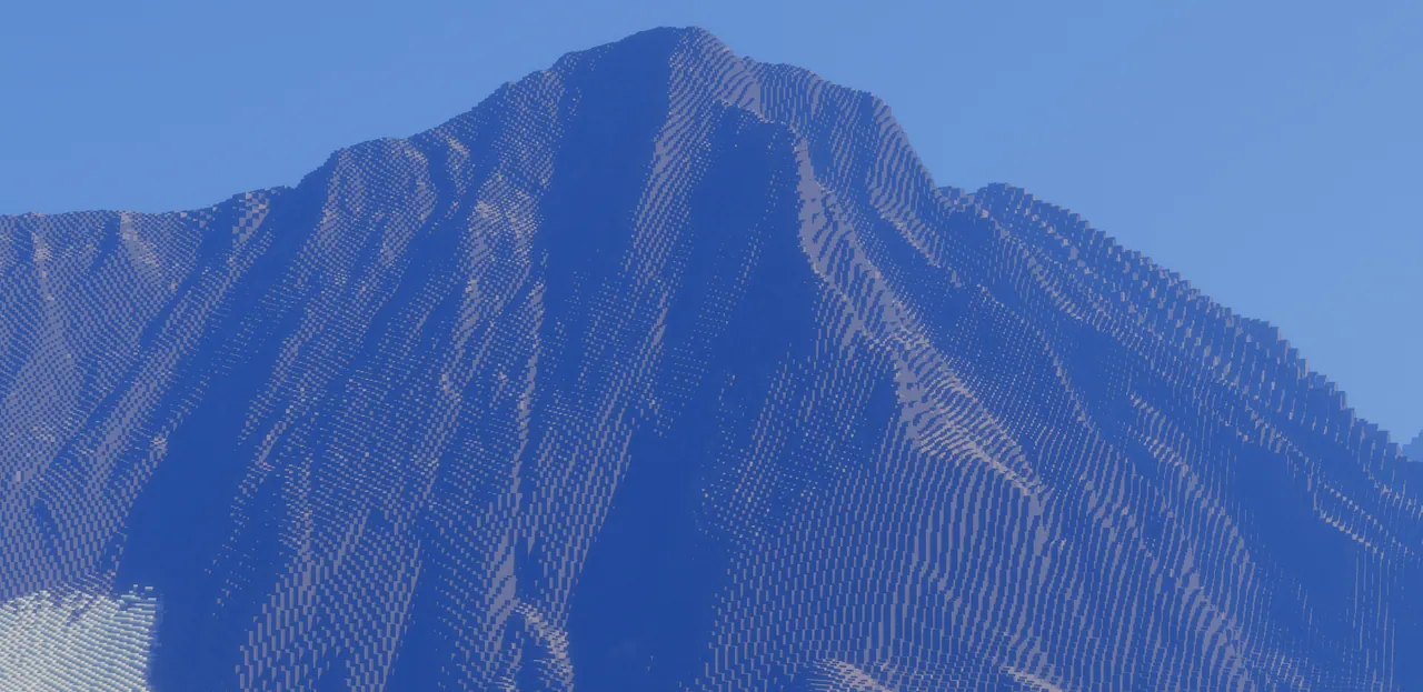
A 1:1 scale terrain map of Capitol Peak and Snowmass Mountain in Colorado built from USGS topographic data.
Overview
Capitol Peak is a terrain recreation for Minecraft Java Edition created by RobertWha. Because the world is built at a one-to-one ratio, every single kilometre of real-world distance is represented by one thousand blocks in the game. The project covers both Capitol Peak and Snowmass Mountain, which are known as 14ers, as well as the ridgeline that links the two summits.
The landscape is modeled using personal climbing observations and USGS topographic data. The author processed this geographical information through QGIS and Worldpainter, utilizing the Custom Tree Repository to add foliage to the environment. Since these peaks sit near the Maroon Bells, the terrain replicates the distinct red coloration along certain ridges that the creator witnessed firsthand while hiking the real mountain.
Trails, Limitations, and Visual Setup
Players can follow recreated hiking paths including the Capitol Creek and Capitol ditch routes. While the elevation and paths are present, the environment currently lacks any creeks or flowing streams. The creator intends to introduce waterways in a future update once a reliable method is found to make water flow naturally without ruining the terrain shape. Furthermore, standard vanilla biomes generate past the boundaries of the custom landscape.
Installing the Distant Horizons mod is advised to see the full mountain range clearly. For players who want their visual setup to resemble the preview images, the creator combined Bliss Shaders with the Patrix 32x resource pack.
How to install
- Download the file and unzip it if it is a .zip.
- Move the world folder into
.minecraft/saves(Java Edition). - Start Minecraft, open Singleplayer and choose the world.
Similar
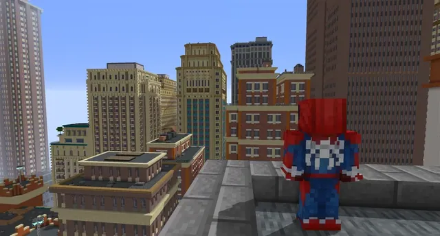
A New York City and Manhattan map built for Minecraft 1.7.10 using the Fisk's Superheroes mod.
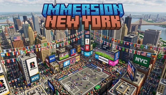
A large-scale map of New York City for Minecraft Bedrock featuring Brooklyn, Central Park, and the Statue of Liberty.
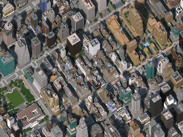
A detailed Minecraft recreation of Midtown Manhattan in New York City.
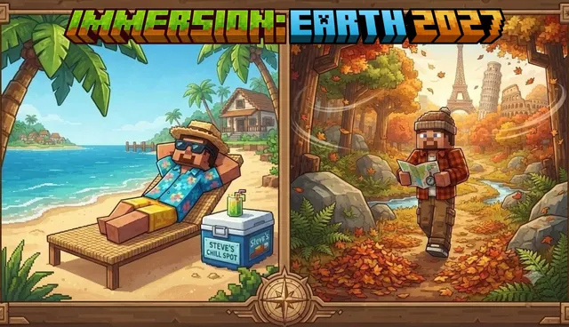 1:1
A Minecraft Bedrock world recreating over 100 real-world cities, landmarks, buildings, and roads across planet Earth.
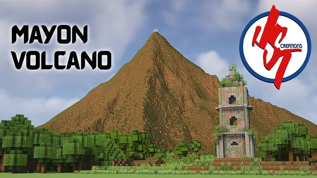
A terrain and landmark recreation of Mayon Volcano and the Cagsawa Church ruins in Albay, Bicol, Philippines.
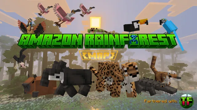
An educational custom terrain map representing the ecosystem and canopy layers of the Brazilian Amazon Rainforest.
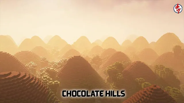
A Minecraft Bedrock recreation of the Chocolate Hills geological formation in Bohol, Philippines.
 1:1750
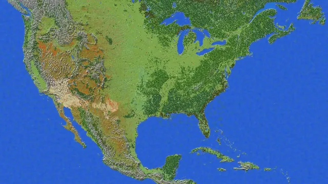
A 1:1750 scale survival terrain map of the United States for Minecraft Bedrock with caves, ores, and dungeons.