
Dynmap-Towny
Bukkit plugin that displays Towny towns, capitals, and nation borders live on Dynmap web maps.
Overview and Requirements
Dynmap-Towny makes Towny settlements and nations visible directly on Dynmap web maps. To operate, this plugin requires both Dynmap v1.7.1 or newer and Towny Advanced 0.83.0.0 or newer. It communicates directly with the Towny API to process zone changes automatically. By default, these refreshes happen once every 5 minutes (300 seconds), though administrators can change this time period.
Server administrators already using the standard Towny region feature inside Dynmap must turn it off when adding Dynmap-Towny. After loading the plugin for the first time, a config.yml file is created inside the plugins/Dynmap-Towny folder for customization. The tool also uses Hidendra's metrics system, which gathers and transmits basic server details—including active player numbers, Java version, operating system architecture, CPU core count, and online mode status.
Town Rendering and Map Features
The plugin calculates and draws a border around all connected blocks of a town, supporting settlements of any shape. While it accurately outlines connected territories, one limitation is that unclaimed holes inside the middle of a town might still be shaded as part of that settlement. Outposts are also displayed on the map, even when they are situated on other worlds.
Interactive elements allow map viewers to click on a town to view a popup box containing a customizable set of town details. Additionally, the map displays a configurable icon on the home block of every settlement, and uses special icons to point out towns that act as national capitals.
Style and Visibility Customization
Visual traits such as border colors, fill opacity, and home marker icons can be adjusted globally, by nation, or by individual town. Administrators can also modify the Y coordinate altitude where town borders are placed. While the default height is 64 (standard sea level), the 'custstyle' option permits individual towns to have their outline altitude configured separately.
Territory visibility and map detail can be controlled through region filtering and zoom restrictions. By configuring the 'visibleregions' and 'hiddenregions' settings, administrators can list specific town names to show or hide, or use the 'world:' format to toggle all settlements across an entire world. Furthermore, assigning a non-zero value to 'minzoom' stops town borders from rendering until a viewer zooms in to at least that specified level.
How to install
- Stop your Paper/Spigot server.
- Put the .jar file into the
pluginsfolder. - Start the server and edit the config it creates.
Similar
A Bukkit land-protection and town and nation management plugin with war mechanics for multiplayer servers.
A Bedrock nation-building addon made for Earth servers like KaroEarth, featuring chunk territories, diplomacy, wars, taxes, and jobs.

A Paper and Spigot addon that integrates Towns and Nations territorial claims and landmarks into Squaremap.

A Hearts of Iron-style geopolitical nations, territories, focus tree, and trade mod built for a 45-country Europe and North Africa RP server.

A medieval kingdom, economy, and warfare mod designed for servers running on a real-world Earth map.

A Towny-like nations and land claims plugin for Paper featuring towns, diplomacy, wars, mercenary clans, and BlueMap territory integration.
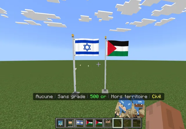
A geopolitical roleplay addon for Minecraft Bedrock featuring Middle Eastern nations, governments, economies, borders, and armies.

A nations and towns land-management plugin for Paper with wars, diplomacy, economy, and BlueMap territory integration.