
Real Earth
A world generator mod that builds the real Earth at 1:1 scale using real elevation, climate, and OpenStreetMap data.
Overview
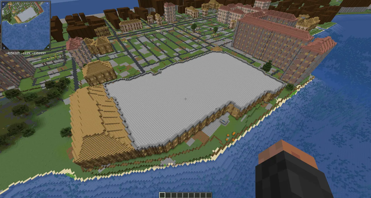
Real Earth is a Java Edition mod for Minecraft 26.1 that generates the entire planet as one continuous Mercator map. At the starting latitude, the scale is one block per metre, meaning a full kilometre of real-world distance is represented block-for-block in metres. Because it uses a Mercator projection, north is always oriented upward and shapes remain accurate, though locations closer to the equator generate smaller and regions near the poles appear larger. The creator designed the concept, set the requirements, and play-tested the project while Anthropic's Claude AI wrote the code and automated tests, and the release is currently treated as a beta.
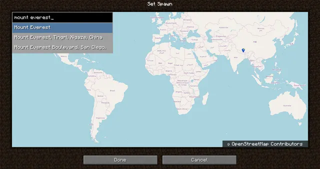
Players can explore the planet either as the primary Overworld or as a separate dimension inside a standard world. Selecting the Real Earth world type spawns you in Stockholm by default, though the starting latitude and longitude can be adjusted in the configuration file prior to generating the world. Alternatively, you can construct a Nether-portal-shaped frame out of lapis lazuli blocks in a normal world and activate it with a Globe Banner Pattern obtained from a cartographer villager.
Terrain, Climate, and Vanilla Features
Surface landscapes are built from elevation datasets at a 3 to 5 m resolution combined with real-world land cover and climate records. Terrain heights remain true to scale up to 2,800 m, while taller peaks are gently compressed so that Mount Everest fits within the world. OpenStreetMap data places actual seas, rivers, canals, lakes, and streams, while European Space Agency land cover and bundled climate maps determine where forests, wetlands, farmland, ice, sandstone deserts, and red banded rock canyons appear.
Beneath the geographic surface, standard Minecraft underground generation remains completely intact. Players will still encounter caves, ores at their normal depths, mineshafts, ancient cities, ocean monuments, and vanilla villages in areas where no real buildings are mapped. The mod also introduces custom advancements tied to real-world geography, such as visiting capitals and towns, crossing the equator or polar circles, reaching the prime meridian or date line, and exploring thin air at high altitudes or areas below the sea.
Buildings, Infrastructure, and Towns
Structures are built on their mapped footprints using real-world heights, colours, roof shapes, domes, and spires, reaching up to 10 floors with storeys of at least 4.5 m. While exterior footprints and roofs match map data, the mod procedurally arranges the interior walls, windows, and rooms rather than copying real floor plans. You can enter furnished blocks of flats with stairwells, ground-floor shops, churches, libraries, schools, markets, offices, warehouses, and houses featuring kitchens, pews, bookshelves, real beds, and loot-stocked chests or pantries. Bookshops offer maps of their own town, and signs display the names of streets, halls, and shops.
Transportation networks and street-level details make urban centres functional and lived in. Roads and paths cross over walkable bridges and pass through lit, stone-lined underground tunnels, while railways provide continuous powered tracks running right through stations with minecarts. Towns display their real town and district names on screen upon entry and are inhabited by villagers alongside mapped features like benches, bins, bus stops, statues, market stalls, marinas with boats, parks with fountains, cemeteries, allotments, and sports pitches.
Technical Details, Commands, and Mod Support
The mod streams public map tiles from Amazon Web Services, OpenFreeMap, the Overture Maps Foundation, and the ESA without sending any personal information or telemetry. Downloaded files are stored locally in a configurable cache folder capped at 8 GB by default, allowing previously visited or pre-downloaded areas to function offline. Server operators can use commands like /earth tp to teleport by coordinates, /earth download to save an area for offline play, /earth repair to fix terrain generated when data could not be downloaded, and /earth perf to log generation performance, while any player can run /earth where to view their coordinates and elevation.
Real Earth requires Minecraft 26.1, Fabric Loader 0.19.5+, Fabric API, and Java 25 installed on both the client and the server. It supports Distant Horizons 3.3+ to draw faraway mountains directly from elevation data, Lootr for interior loot containers, and culling mods like Entity Culling to help frame rates around the numerous beds found in cities. When Jade or Xaero's Minimap are installed, players can view building, room, street, town, and coordinate information on their screen, along with automatic waypoints for surrounding towns and stations.
How to install
- Install the loader shown in the table (Fabric, Forge or NeoForge) for the same Minecraft version.
- Put the .jar file into
.minecraft/mods. - Start Minecraft with that loader profile.
Similar

A customizable world generation platform and API for Fabric, Forge, and Bukkit servers used to create custom and Earth-like terrain.
 1:40m
A world generation mod that creates a customizable, scale-adjustable replica of planet Earth using streamed geographic data.
A world generation mod that streams real-world elevation, climate biomes, roads, and buildings from geographic and OpenStreetMap datasets.
A world generation mod that adds a real Earth world type to Minecraft.
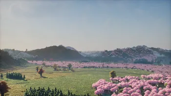 ~1:6
A configurable real-Earth world generator using AWS elevation tiles and climate data to create Earth terrain at adjustable zoom scales.
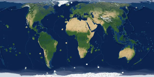
A real-Earth world generator for TerraFirmaCraft featuring real continents, rivers, lakes, mountains, climate zones, and coordinate spawning.
A China-optimized fork of the Tellus mod that generates real-world Earth terrain, elevation, biomes, and climate from geographic data.
 1 to 1
A performance-focused fork of the Terra 1 to 1 mod that generates the real Earth at a 1:1 scale using online datasets and OpenStreetMap.