
RealScale Terrain (Real-World Terrain)
A NeoForge world generation mod using 1:1 scale USGS digital elevation data, hydrology, and climate simulation, including a Big Sur preset.
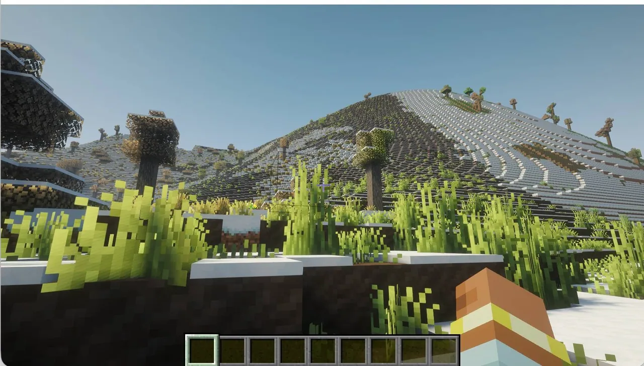
Overview and Scale
RealScale Terrain is an experimental NeoForge modification for Minecraft 1.21.1 designed to overhaul standard world generation using scientific concepts and geographic data. Built with Java 21, the project replaces isolated terrain features with a unified framework drawing from real-world geology, climatology, hydrology, and geography. Instead of generating biomes, rivers, mountains, and caves independently, the system combines procedural mathematics with actual elevation measurements to produce continuous landscapes.
The generation operates at a horizontal scale where one Minecraft block represents one meter, which equals one thousand blocks per kilometer. This scale determines the size and proportions of the in-game landforms rather than the original measurement resolution of the imported geographical dataset. By maintaining these dimensions, the system generates expansive elevation profiles, smoother transitions between landforms, and continuous regional environments.
Elevation Data and Terrain Presets
The project integrates real-world digital elevation model data from the United States Geological Survey alongside procedural generation. In the USGS Big Sur preset, measured geographical landforms are blended and interpolated into the surrounding procedural terrain. In total, the v1.1 release candidate offers seven procedural presets, including Realism MAX for comprehensive natural landscapes, GeoReal Ultimate for multi-scale formations, Himalayan for high-altitude peaks, and Grand Canyon for plateaus and deep gorges.
Customizable terrain profiles are also being developed to let players adjust specific generation parameters without altering existing saved worlds. These experimental settings provide control over mountain ridges, terrain relief, erosion-inspired geometry, river channels, cave frequency, and climate temperatures. Automated testing workflows and world-data inspection tools are used during development to check these presets for geometric artifacts and elevation discontinuities.
Caves, Hydrology, and Climate Systems
Underground and hydrological systems are being designed in experimental branches to reflect local elevation and depth constraints. Three-dimensional noise algorithms generate connected cave networks across chunks while preventing mountains from becoming overly hollowed out. On the surface, experimental river generation places channels and riverbeds based on surrounding topography and includes freezing behavior in cold regions, though complete erosion and watershed simulations remain long-term research goals.
Climate-aware biome placement under development uses altitude, latitude, and terrain depressions to determine regional environments. The experimental framework adjusts temperatures by elevation, applies optional warming in valleys, and supports configurable latitude models such as concentric rings. These mechanics aim to create gradual transitions between warm lowlands, temperate zones, and cold mountain peaks, though many of these advanced features are still being tested outside the main v1.1 build.
Performance and Mod Compatibility
For a balanced combination of generation speed, stability, and visual quality, using Optimization Mode is recommended. While RealScale Terrain works with both Chunky and Distant Horizons, the creator advises running only Distant Horizons unless you have a high-end computer. Keeping the setup limited helps maintain smooth performance when loading the expansive landscapes.
How to install
- Install the loader shown in the table (Fabric, Forge or NeoForge) for the same Minecraft version.
- Put the .jar file into
.minecraft/mods. - Start Minecraft with that loader profile.
Similar

A customizable world generation platform and API for Fabric, Forge, and Bukkit servers used to create custom and Earth-like terrain.
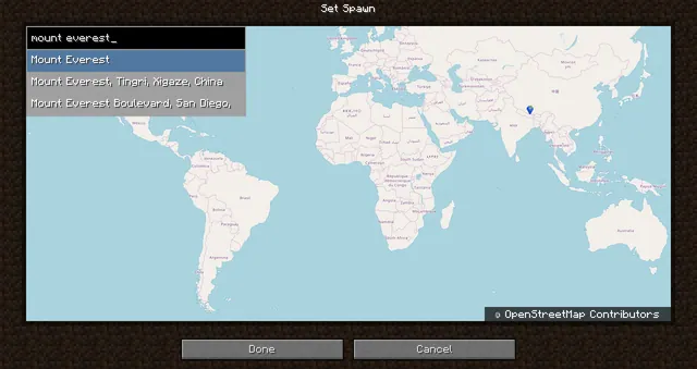 1:40m
A world generation mod that creates a customizable, scale-adjustable replica of planet Earth using streamed geographic data.
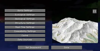
A world generation mod that streams real-world elevation, climate biomes, roads, and buildings from geographic and OpenStreetMap datasets.
A world generation mod that adds a real Earth world type to Minecraft.
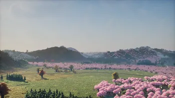 ~1:6
A configurable real-Earth world generator using AWS elevation tiles and climate data to create Earth terrain at adjustable zoom scales.
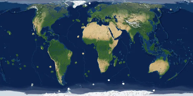
A real-Earth world generator for TerraFirmaCraft featuring real continents, rivers, lakes, mountains, climate zones, and coordinate spawning.
A China-optimized fork of the Tellus mod that generates real-world Earth terrain, elevation, biomes, and climate from geographic data.
 1 to 1
A performance-focused fork of the Terra 1 to 1 mod that generates the real Earth at a 1:1 scale using online datasets and OpenStreetMap.