
TrueEarth
Generates the real Earth at 1:1 scale from geographic data with real terrain, streets, buildings, landmarks, and live traffic.
Overview
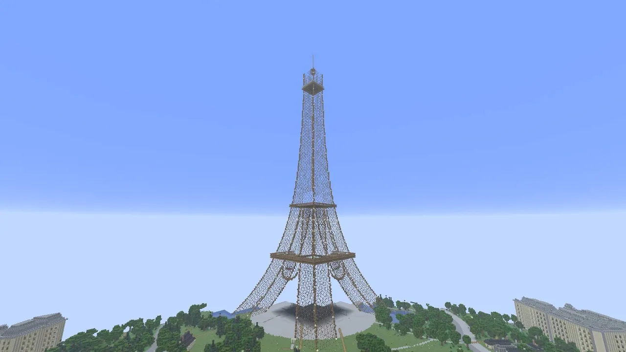
TrueEarth by YukuAkane generates the entire planet in Minecraft Java Edition at a 1:1 scale, meaning one thousand blocks correspond to one real-world kilometre. Players can create a Whole Earth world and begin their journey from any physical address. As you move across the landscape, the mod streams and builds new regions dynamically using real geographic datasets.
While global generation relies on OpenStreetMap, the highest level of detail is found in France due to additional IGN BD TOPO data. The terrain reflects actual elevations, coastlines, rivers, and lakes, alongside rural features like orchards, farms, silos, hedgerows, and weekly crop patterns derived from Sentinel-2 satellite imagery.
Architecture and Landmarks
Buildings are constructed using real footprints, heights, floor counts, and roof shapes, with roof colors taken from aerial photography. The mod adapts building exteriors to match their construction era and regional styles, such as Parisian Haussmann structures, Alsatian half-timbering, Breton stone, northern brick, Basque houses, and southern ochre facades. At street level, blocks feature inner courtyards, gardens, furnished interiors, staircases, pharmacy crosses, and storefronts displaying real business names.
More than 25 famous landmarks are hand-modelled across the globe alongside detailed underground metro systems. In France, notable structures include the Eiffel Tower, Arc de Triomphe, Notre-Dame, Sacre-Coeur, the Louvre, Chambord, the Millau Viaduct, Pont du Gard, and the cathedrals of Strasbourg, Reims, and Chartres. International monuments include Big Ben, the Statue of Liberty, the Colosseum, Sagrada Familia, and the pyramids of Giza.
Dynamic Environment and Navigation
The world is populated with real-time transport and simulated local traffic. Airplanes from OpenSky and SNCF trains, buses, and trams appear at their actual positions, while car traffic is calibrated to real road counts and obeys traffic lights, stop signs, and give-way signs. Sidewalks feature pedestrians waiting at crossings alongside block-by-block French road signs, street lamps, benches, bins, bollards, and bike racks. Players can also enable optional real-time weather and sun positioning that matches local time.
Exploration is supported by a bilingual English and French interface featuring an OpenStreetMap minimap and a travel map opened with the V key. The minimap displays live street and town names, while a built-in notebook records discovered locations. Players can navigate using commands like /terre tp, /terre aller, /terre ici, and /transports, and the mod supports multiplayer servers by generating independent traffic and pedestrians for each group of players.
How to install
- Install the loader shown in the table (Fabric, Forge or NeoForge) for the same Minecraft version.
- Put the .jar file into
.minecraft/mods. - Start Minecraft with that loader profile.
Similar

A customizable world generation platform and API for Fabric, Forge, and Bukkit servers used to create custom and Earth-like terrain.
 1:40m
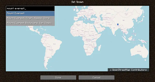
A world generation mod that creates a customizable, scale-adjustable replica of planet Earth using streamed geographic data.
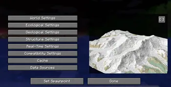
A world generation mod that streams real-world elevation, climate biomes, roads, and buildings from geographic and OpenStreetMap datasets.
A world generation mod that adds a real Earth world type to Minecraft.
 ~1:6
A configurable real-Earth world generator using AWS elevation tiles and climate data to create Earth terrain at adjustable zoom scales.
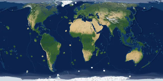
A real-Earth world generator for TerraFirmaCraft featuring real continents, rivers, lakes, mountains, climate zones, and coordinate spawning.
A China-optimized fork of the Tellus mod that generates real-world Earth terrain, elevation, biomes, and climate from geographic data.
 1 to 1
A performance-focused fork of the Terra 1 to 1 mod that generates the real Earth at a 1:1 scale using online datasets and OpenStreetMap.